Boundary + title support
Boundary-related work and records research scoped to the requested purpose and applicable standard.
Field information that gives owners, designers and builders a clearer place to begin.
Surveying can connect property records, site observations and design needs into a usable project base. The right scope depends on the purpose, site conditions, records available and professional standard required.
This page shows possible service categories for discussion, not a representation of current licensure, project experience, or firm authorization.
Boundary-related work and records research scoped to the requested purpose and applicable standard.
Field measurements and mapping that help a qualified design team understand the site and its visible features.
Construction support and record information when appropriate to the project, scope, controls and credentials.
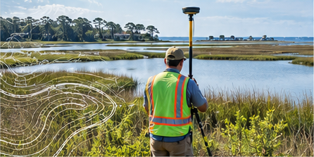
Illustrative visual · no client project represented
A useful survey workflow aligns the purpose, records, field collection, review and deliverable format from the start. A real provider should confirm scope, datum, tolerances, exclusions and intended use in writing.