Site planning
Translate a project brief and known site conditions into a coordinated early layout and a clear list of next decisions.
Civil engineering for land development, stormwater, roads, utilities and coastal site constraints.
Early decisions about land, water, access and infrastructure can influence a project's cost and constructability. This concept explains how a civil practice could help owners and project teams understand those decisions.
Potential scopes are illustrative and would need to be confirmed against the responsible South Carolina professional's license, experience, firm authorization, insurance and project needs.
Translate a project brief and known site conditions into a coordinated early layout and a clear list of next decisions.
Develop grading and stormwater concepts that account for drainage patterns, review requirements and the project context.
Coordinate circulation, site access and roadway connections with the surrounding transportation network.
Plan and coordinate site utility layouts with available records, providers and the wider design team.
Identify flood, drainage and coastal constraints early and coordinate the right specialist and agency input.
Support clear field handoffs, respond to scoped design questions and coordinate survey information during delivery.
Clear plan sets connect design intent to existing conditions, field questions and construction decisions. A future practice should show its real review steps, professional signoff and coordination boundaries.
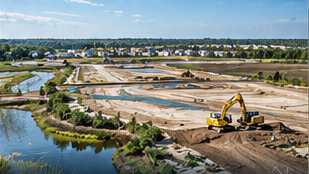
Illustrative visual · no client project represented